
The Latest from Southeast Farm Press
thumbnail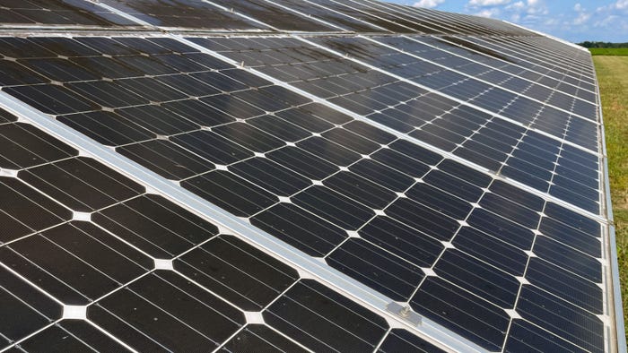
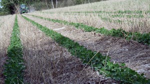
EnergiesAgrivoltaics: Weighing solar growth and farmland lossAgrivoltaics: Weighing solar growth and farmland loss
Rural community resistance to solar development is expressed at the focal point of county zoning approval, with citizen testimony raising concerns over negative environmental and property value impacts on the surrounding community.

.jpg?width=700&auto=webp&quality=80&disable=upscale)


Market Overview
| Contract | Last | Change | High | Low | Open | Last Trade |
|---|---|---|---|---|---|---|
| Jul 24 Corn | 452.25 | -0.25 | 453 | 451.75 | 452.25 | 01:02 AM |
| Jul 24 Oats | 354.25 | unch — | 354.25 | 354.25 | 354.25 | 12:00 AM |
| May 24 Class III Milk | 17.92 | -0.21 | 18.07 | 17.9 | 18.07 | 12:46 AM |
| Jul 24 Soybean | 1184 | +2 | 1184 | 1180.25 | 1181 | 01:02 AM |
| Aug 24 Feeder Cattle | 259.4 | +0.925 | 260.625 | 257.675 | 258.5 | 06:04 PM |
| May 24 Ethanol Futures | 2.161 | unch — | 2.161 | 2.161 | 2.161 | 09:38 PM |

Copyright © 2019. All market data is provided by Barchart Solutions.
Futures: at least 10 minute delayed. Information is provided ‘as is’ and solely for informational purposes, not for trading purposes or advice.
To see all exchange delays and terms of use, please see disclaimer.
All Southeast Farm Press


Enter a zip code to see the weather conditions for a different location.
Recommended


Aug 27 - Aug 29, 2024
Aug 27 - Aug 29, 2024
The nation’s largest outdoor farm event that annually hosts over 600 exhibitors from around the world.
LEARN MORESubscribe to receive top agriculture news
Be informed daily with these free e-newsletters